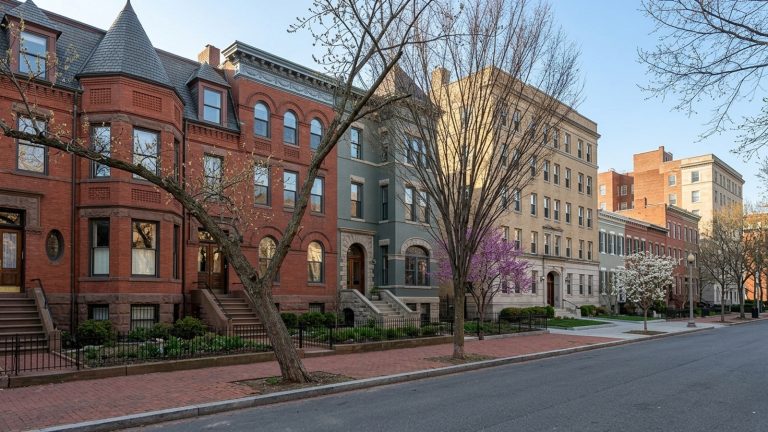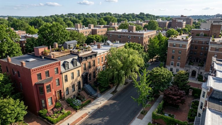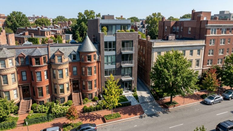

The median home price in Dupont Circle sits around $540,000, and a lot of buyers end up here specifically because of the transit access. The neighborhood occupies the northwest quadrant of Washington, DC, where Connecticut Avenue, Massachusetts Avenue, and New Hampshire Avenue all converge. Homes average roughly 54 days on the market – not a fire sale pace, but steady. Before you commit to living in Dupont Circle, DC, it’s worth understanding how you’ll actually move through the city on a Tuesday morning.
Arriving in Dupont Circle from Outside the District
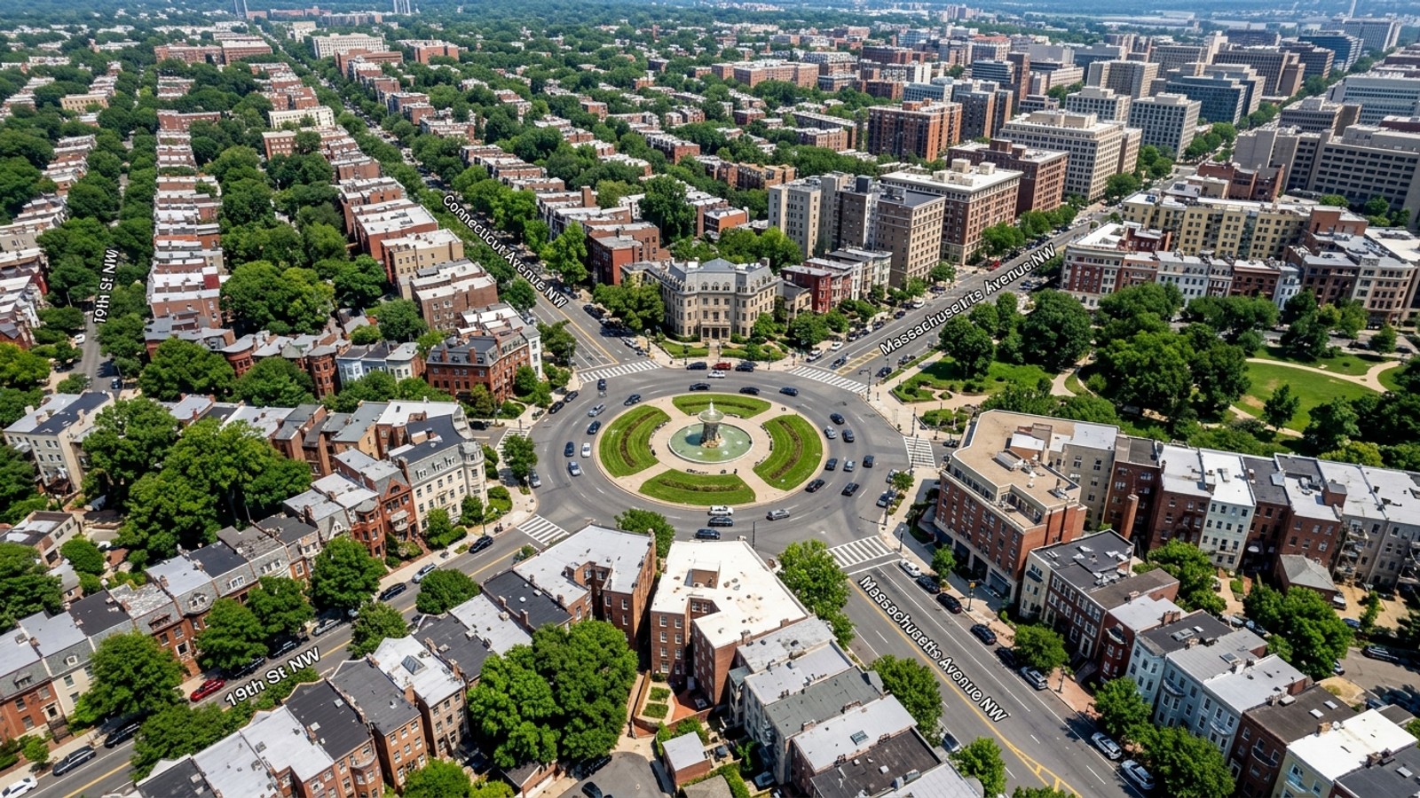
All three major avenues – Connecticut, Massachusetts, and New Hampshire – meet directly at the Dupont Circle Fountain, which functions as the primary orienting landmark for anyone driving in. Regional traffic filters through these diagonal arteries rather than the standard grid, so your mental map needs to account for that.
Drivers coming from Maryland generally take Connecticut Avenue straight down into the district. From Northern Virginia, you’re typically crossing the Potomac via the Arlington Memorial Bridge or I-66 before connecting to the local street grid. The circle itself runs counterclockwise – you yield to traffic already in the circle, the inner lanes keep you moving through, and the outer lanes peel off toward the surrounding streets.
Traveling from Union Station
Union Station is about two miles east of the neighborhood and handles Amtrak along with regional commuter rail. The straightforward option is the Metro Red Line, which runs directly between Union Station and the Dupont Circle station. You can also catch the DC Circulator bus or flag a taxi from the station’s pickup line. A rideshare or cab typically takes 15 to 20 minutes, depending on what downtown traffic is doing that day.
Driving Directions and Airport Distances
Reagan National Airport – DCA – is your closest option at approximately 7 miles south. Driving there usually takes 15 to 25 minutes via the George Washington Memorial Parkway or US-1 South, and a lot of residents skip the drive entirely by taking the Metro and transferring from the Red Line to the Yellow or Blue Line at the airport terminals.
For international travel, you’re looking at Dulles International Airport (IAD) or Baltimore-Washington International Airport (BWI). Dulles sits roughly 27 miles west – about 37 to 40 minutes via I-66 and the Dulles Toll Road when traffic cooperates, longer during rush hour. BWI is about 33 miles northeast in Maryland, with a drive of 44 to 46 minutes using the Baltimore-Washington Parkway or I-95. Both are workable, but they require planning in a way that DCA doesn’t.
Parking Garages and Metro Park-and-Ride Options
Street parking runs on residential zoned permits, and open spaces are genuinely scarce. Visitors and residents without off-street parking use private garages, which charge daily or monthly rates for secured spots.
If you’d rather not drive into the city center at all, outer Metro stations offer park-and-ride facilities. Suburban Red Line stations like Shady Grove or Grosvenor in Maryland let you leave the car and ride straight into the neighborhood.
Using Public Transit and the Metro
The Dupont Circle Metro station runs exclusively on the Red Line and has two entrances – one at the north end of the circle near Q Street NW, and one at the south end near 19th Street NW. During peak hours, trains arrive every few minutes and connect you directly to major employment centers like Farragut North, Metro Center, and Gallery Place.
Above ground, WMATA Metrobus routes run continuously along the major avenues, covering neighborhoods the rail doesn’t directly reach – Georgetown and Adams Morgan being the obvious examples.
SmarTrip Cards and Current Fares
You’ll pay for all WMATA services with a SmarTrip card or mobile wallet. As of 2026, standard Metrobus fares are $2.25 per ride; express bus routes run $4.80. Metrorail uses distance-based pricing on weekdays, ranging from $2.25 to $6.75 per trip. After 9:30 p.m. and on weekends, rail fares drop to a flat rate between $2.25 and $2.50.
The system includes a two-hour transfer window. Bus-to-bus transfers are free within that window, and rail-to-bus or bus-to-rail transfers get a $2.25 discount.
Deciding Whether to Keep a Car
About 28% of homes sold in the area over the last year closed above list price, and properties with deeded parking spaces consistently command a premium. That tells you something about how buyers here weigh the cost of a car against the convenience of just not having one.
Many residents go entirely car-free. Grocery stores, pharmacies, and hardware stores sit within a few blocks of most residential buildings. Walking often turns out to be faster than driving once you factor in hunting for a street parking space.
That said, if you’re commuting to suburban office parks in Maryland or Virginia, a car may still make sense. Just go in knowing what it costs: residential parking permits, garage fees, and DC vehicle registration add up, which is why a lot of people end up relying on alternatives instead.
Rideshares and Local Taxis
When walking or the Metro isn’t practical – late nights, a bulk grocery run, a trip to a neighborhood without direct rail access – rideshare apps and local taxis fill the gap. Drivers circulate through the area consistently, and wait times rarely stretch past five minutes. Airport shuttle services also operate throughout the district with scheduled pickups for Dulles and BWI.
Senior and Medical Transportation Programs
The DC Department of Aging and Community Living (DACL) runs specific transportation programs for older residents who need help reaching appointments without relying on the standard transit network.
The Senior MedExpress program offers free round-trip transportation via Yellow Cab for DC residents aged 60 and older. It requires a certified medical condition and covers essential appointments – dialysis, chemotherapy, that kind of care.
The ConnectorCard Program is a separate, income-based cost-share initiative for adults 60 and older. It works as a debit card for ground transportation with Yellow Cab, providing up to $100 per month.
Frequently Asked Questions
Do I need a car if I buy a home in Dupont Circle, DC?
No. The area has the pedestrian infrastructure, Metro Red Line access, and Metrobus coverage to handle daily commuting and errands without one.
How do I get a Zone 2 Residential Parking Permit when moving to Dupont Circle?
You apply through the DC Department of Motor Vehicles after registering your vehicle in the district. The permit lets you park on streets designated for Zone 2 residents without being subject to the standard two-hour visitor limits.
How much does it cost to buy or rent a private off-street parking space in Dupont Circle?
Renting a space in a neighborhood garage or building typically runs several hundred dollars per month. If you’re buying a condo, deeded parking adds a meaningful premium to the final sale price.
Which Metro lines serve the Dupont Circle station and where are the specific neighborhood entrances located?
The station operates exclusively on the Red Line. You can enter at the north end of the circle near Q Street NW or at the south end near 19th Street NW.
What happens if I live in Dupont Circle but need to commute to Northern Virginia or Maryland for work?
You can take the Metro Red Line and transfer to lines serving Virginia and Maryland, or drive out of the city using Connecticut Avenue or the George Washington Memorial Parkway to reach the regional highways.
How walkable is Dupont Circle, DC for daily errands like grocery shopping without a vehicle?
Very. Wide sidewalks connect residential blocks directly to the commercial corridors, and grocery stores, pharmacies, and local shops sit within a few blocks of most homes. For most daily needs, you won’t need a car.